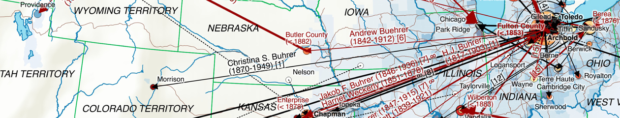
The production of the map showing the emigration of Bührers from Switzerland to the United States relied on the following, largely self-developed sequential steps:
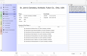
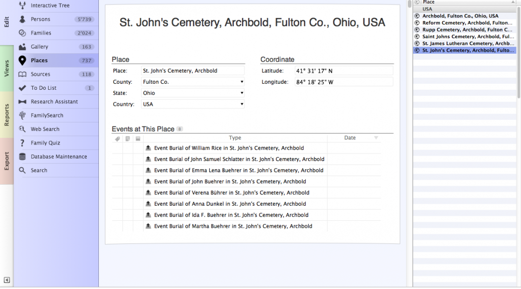
- Normalization, completion and geocoding of places used for family and persons events
- Identification and categorization of in-scope persons, notably persons born as Bührer or name varieties such as Buehrer (“Named”), spouses (“Married”) and their children/grandchildren (“Descendant”) that have different family names
- Constructing a sequence of geocoded events for a person’s life, also considering childbirth for women. In case geocoded events lacked dates a natural sequence was assumed, i.e. birth followed by marriage, childbirth, death and burial.
- Determination of an emigration/residence status relative to Switzerland, the US or third countries. Of particular interest were those that emigrated to the US as well as confirmed or assumed US residents
- Determination of a common male ancestor for all Bührers that emigrated or have lived in the US and the generation relative to him
- Deriving a family status for emigrants, i.e. whether emigrants emigrated as single, with their spouse or family
- Assignment of persons to a time period (generations prior/beyond 1880) based on known birth years, ensuring a consistent assignment of couples and siblings to the same period
- Construction of migration path segments following the sequence of geocoded events
- Aggregation of migration paths per county and time period, including aggregated indicators such as the category of in-scope person with Bührer prevailing and the minimal generation involved